What Mischief Can We Make with Maps of ScotlandAlthough we no longer have our April 1 issue, which let us play April Fool jokes on our readers, we thought this might be a bit of fun – even though it is May! There have been some jokes about Shetland and Orkney as really being part of Scotland since in maps of Scotland, they are usually found only in map insets. This is enough to cause serious concern - but there is worse, much worse if things are carried to their extreme. A few issues back, an article in the Scotia News talked about “the Scotia Plate”, actually named for the research vessel that discovered it. Now the Scotia Plate isn’t like Caithness Glass plate or dish. No, it is a geologic plate – one of the world’s tectonic plates. Surprisingly enough it is nowhere near Scotland. In fact, it is about as far away from Scotland as you can get. The Scotia Plate lies beneath the Southern Ocean (surrounding Antarctica) and the Southern Atlantic Ocean and the waters over the Scotia Plate are known as the Scotia Sea. Because it lies between Antarctica and the tip of South America, about half of the sea lies over the continental shelf. Just to make matters worse however, within the area there are two groups of islands: one is called the South Shetland Islands, the other the South Orkney Islands. James Weddell, a British sailor, navigator and seal hunter who had traveled some 532 statute miles south of the Arctic Circle – a record at the time named the South Orkney Islands while Weddell was looking for seals, whose population in the area had declined dramatically within 2 years of the time the South Shetland Islands had been found. The Scotia Sea has on one of its borders, the Weddell Sea (a part of the Southern Ocean also named for James Weddell) The islands lie at roughly the same latitude south that Orkney lies north, but it isn’t clear if this was a motivation for the renaming. The archipelago contains four main islands, the largest of which is Coronation Island so named for the coronation of King George the IV. The South Shetland Islands lie about 75 miles (120 kilometers) north of the Antarctic Peninsula. The islands are open to use by any signatory of the Antarctic Treaty of 1959 for non-military purposes. Both Chile and Britain have claimed the islands. The British claim right of discovery, while the Chilean government claims that Native American artifacts found on the island give Chile precedence. These were later discovered to have been planted there. The 1959 treaty itself neither recognizes or disputes the island’s sovereignty. The result is that the islands are home to a number of research stations several being multi national largely with Chile. The South Shetland Islands, along with the South Orkney Islands, The South Sandwich Islands and the South Georgia Islands are part of the Scotia Seas Islands Tundra ecoregion. This area, despite its harsh climate is home to mosses lichens and algae. Sea birds, penguins and seals are also a part of the ecosystem. So if anyone would really like to wreak havoc with maps of Scotland, one need only add the Scotia Sea, along with the South Shetland and South Orkney Islands! For further study, here is a PDF of "Evolution of the Deep and Bottom Waters of the Scotia Sea, Southern Ocean, during 1995–2005" 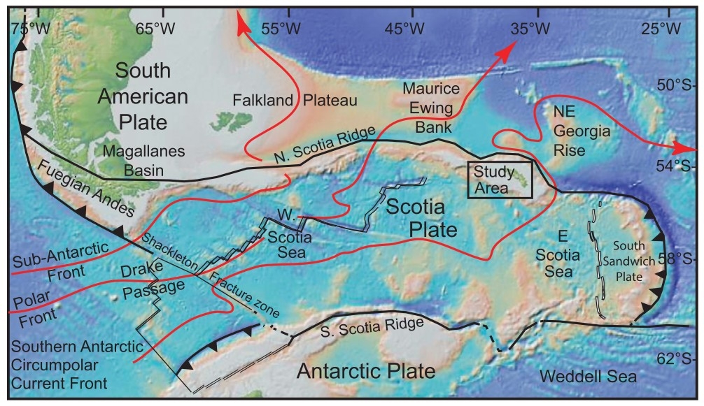 Scotia Plate |